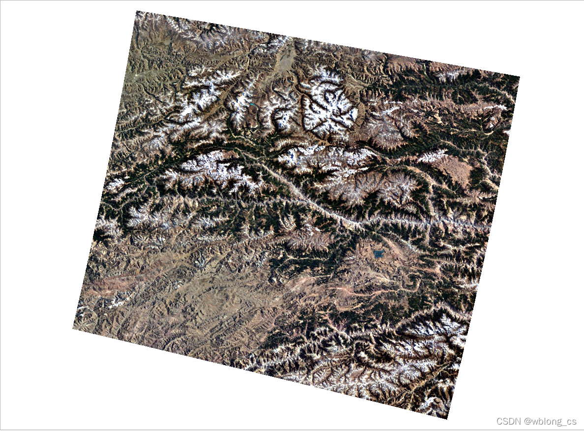
UE4 GDAL 生成Landscape
使用GDAL加载DEM&DOM影像数据,在UE4中构建Landscape。
DEM& DOM


UnrealGDAL
UnrealGDAL 插件


Code
加载GeoTIFF
加载高度图(DEM),加载纹理RGB (DOM)。
GDALDatasetRef heightmap = mergetiff::DatasetManagement::openDataset(TCHAR_TO_UTF8(*(this->HeightmapDataset)));
	if (!heightmap) {
		return TEXT("Failed to open the heightmap dataset");
	}

	// Attempt to open the RGB dataset
	GDALDatasetRef rgb = mergetiff::DatasetManagement::openDataset(TCHAR_TO_UTF8(*(this->RGBDataset)));
	if (!rgb) {
		return TEXT("Failed to open the RGB dataset");
	}
查询影像投影信息MetaData
坐标投影信息及Extent(Corners)。
// Attempt to retrieve the Well-Known Text (WKT) representation of the projected coordinate system used by the heightmap dataset
	FString heightmapWkt = GetProjectionWkt(heightmap);
	if (heightmapWkt.IsEmpty()) {
		return TEXT("Failed to retrieve the projected coordinate system used by the heightmap dataset");
	}

	// Attempt to retrieve the Well-Known Text (WKT) representation of the projected coordinate system used by the RGB dataset
	FString rgbWkt = GetProjectionWkt(rgb);
	if (rgbWkt.IsEmpty()) {
		return TEXT("Failed to retrieve the projected coordinate system used by the RGB dataset");
	}

	// Attempt to retrieve the projected corner coordinates for the heightmap dataset
	RasterCornerCoordinatesRef heightmapCorners = GDALHelpers::GetRasterCorners(heightmap);
	if (!heightmapCorners) {
		return TEXT("Failed to compute the projected corner coordinates of the heightmap dataset");
	}

	// Attempt to retrieve the projected corner coordinates for the RGB dataset
	RasterCornerCoordinatesRef rgbCorners = GDALHelpers::GetRasterCorners(rgb);
	if (!rgbCorners) {
		return TEXT("Failed to compute the projected corner coordinates of the RGB dataset");
	}
影像数据预处理
将DEM数据处理成GDT_Float32,将DOM数据处理成GDT_Byte。
// If the heightmap data is not already in Float32 format then convert it
	if (heightmap->GetRasterBand(1)->GetRasterDataType() != GDT_Float32)
	{
		// Attempt to convert the heightmap data to Float32
		heightmap = GDALHelpers::Translate(heightmap, GDALHelpers::UniqueMemFilename(),
			GDALHelpers::ParseGDALTranslateOptions({
				TEXT("-ot"),
				TEXT("Float32"),
			})
		);

		// Verify that conversion succeeded
		if (!heightmap) {
			return TEXT("Failed to convert the heightmap to Float32 format");
		}
	}
	if (rgb->GetRasterBand(1)->GetRasterDataType() != GDT_Byte)
	{
		// Attempt to convert the heightmap data to Float32
		rgb = GDALHelpers::Translate(rgb, GDALHelpers::UniqueMemFilename(),
			GDALHelpers::ParseGDALTranslateOptions({
				TEXT("-ot"),
				TEXT("Byte"),
				})
				);

		// Verify that conversion succeeded
		if (!rgb) {
			return TEXT("Failed to convert the rgb to Byte format");
		}
	}
读取数据
//------- STEP 6: READ HEIGHTMAP RASTER DATA -------

	// Retrieve the raster dimensions for the heightmap
	data.HeightBufferX = heightmap->GetRasterXSize();
	data.HeightBufferY = heightmap->GetRasterYSize();

	// Create a buffer to hold the heightmap data and wrap it in a RasterData object
	mergetiff::RasterData<float> heightmapData = GDALHelpers::AllocateAndWrap<float>(data.HeightBuffer, 1, data.HeightBufferY, data.HeightBufferX, 0.0f);

	// Attempt to read the heightmap data into our buffer
	if (mergetiff::RasterIO::readDataset(heightmap, heightmapData, {1}) == false) {
		return TEXT("Failed to read the data from the heightmap");
	}


	//------- STEP 7: READ RGB RASTER DATA -------

	// Retrieve the raster dimensions for the RGB data
	data.ColorBufferX = rgb->GetRasterXSize();
	data.ColorBufferY = rgb->GetRasterYSize();

	// Create a buffer to hold the RGBA data and wrap it in a RasterData object, filling all channels with 255 by default
	data.PixelFormat = EPixelFormat::PF_R8G8B8A8;
	mergetiff::RasterData<uint8> rgbaData = GDALHelpers::AllocateAndWrap<uint8>(data.ColorBuffer, 4, data.ColorBufferY, data.ColorBufferX, 255);

	// Attempt to read the RGB data into our buffer, leaving the alpha channel filled with 255
	if (mergetiff::RasterIO::readDataset(rgb, rgbaData, {1,2,3}) == false) {
		return TEXT("Failed to read the data from the RGB dataset");
	}
生成 Landscape
  ALandscape* Landscape = WorldContext->GetWorld()->SpawnActor<ALandscape>();

	// Setup landscape configuration
	Landscape->ComponentSizeQuads = 255;
	Landscape->SubsectionSizeQuads = 255;
	Landscape->NumSubsections = 1;
	Landscape->SetLandscapeGuid(FGuid::NewGuid());

	// Build new material for landscape
	Landscape->LandscapeMaterial = GenerateUnlitLandscapeMaterial(LandscapeName, FString::Printf(TEXT("%s.%s"), *PackageName, *Name), FMath::CeilToInt(GISData.HeightBufferX / 255), FMath::CeilToInt(GISData.HeightBufferY / 255), 255);

	Landscape->CreateLandscapeInfo();
	Landscape->SetActorTransform(FTransform(FQuat::Identity, FVector(), ScaleVector));

	// Generate LandscapeActor from heightmap
	HeightmapDataPerLayers.Add(FGuid(), HeightGDAL);
	MaterialLayerDataPerLayer.Add(FGuid(), TArray<FLandscapeImportLayerInfo>());

	// Build in engine only function for taking height buffer and generating landscape components
	Landscape->Import(Landscape->GetLandscapeGuid(), 0, 0, GISData.HeightBufferX - 1,
		GISData.HeightBufferY - 1, Landscape->NumSubsections, Landscape->SubsectionSizeQuads, HeightmapDataPerLayers,
		TEXT("NONE"), MaterialLayerDataPerLayer, ELandscapeImportAlphamapType::Layered
	);

	// Translate Landscape so that lowest point is 0 in WorldSpace
	FVector LandscapeOrigin;
	FVector LandscapeBounds;
	Landscape->GetActorBounds(false, LandscapeOrigin, LandscapeBounds);
	Landscape->SetActorLocation(FVector(0, 0, LandscapeBounds.Z));

	// Create attach and register GISDataComponent
	Landscape->ReregisterAllComponents();

	// Get last components to fill out useful information
	ULandscapeComponent* lastComponent = Landscape->LandscapeComponents.Last();
	Landscape->CreateLandscapeInfo();
	Landscape->SetActorLabel(LandscapeName);